
Korea’s mountains don’t wait for you to be ready. Every spring, the trails fill before most visitors even realize the window has opened — and by the time cherry blossoms peak in Seoul, the higher ridgelines above 1,000 meters are already crowded with hikers who booked their guesthouses in advance.
Spring hiking season in Korea runs roughly from late March through May. That’s a narrow ten-week corridor where temperature, foliage, and trail conditions align into something close to perfect. Miss it by two weeks in either direction and you’re either fighting mud or sweating through summer humidity that makes even a gentle slope feel like punishment.
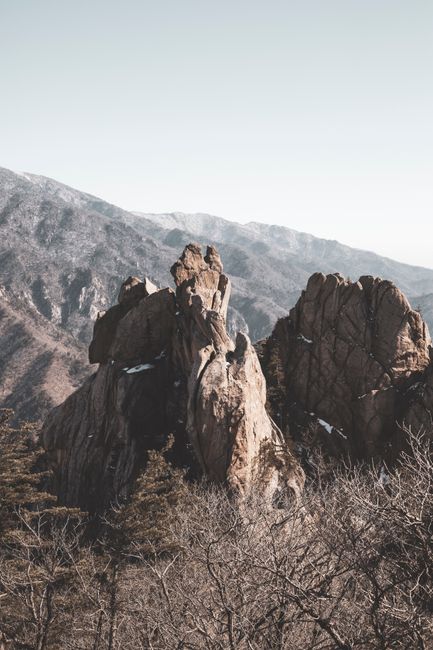
The Three Mountains That Define Korean Spring Hiking
Korea has 23 national parks. Most foreign visitors know Seoraksan (설악산) and Hallasan (한라산) by name. Far fewer know which trails inside those parks are actually worth the effort — and which ones are quietly closed each spring for ecological recovery.
Bukhansan: The Mountain Inside the City
Bukhansan (북한산) sits inside Seoul’s northern boundary. The summit, Baegundae Peak, reaches 836.5 meters. On a clear April morning, the view from the top stretches across the Han River and back toward the glass towers of Gangnam. By one measure, it’s the most visited national park per square kilometer on Earth — a statistic that stops sounding impressive the moment you’re wedged behind forty hikers on a two-meter-wide granite ledge.
The Dobongsan (도봉산) section of the same park offers a quieter alternative. The Mangwolsa Temple trail begins at the valley floor and climbs through dense pine forest before opening onto exposed ridgeline. Spring azaleas — called jindallae (진달래) — bloom along the upper sections in early April, turning the grey granite pink in a way that photographs simply cannot capture.
📍 Bukhansan National Park
- Address: 262 Bogungmun-ro, Seongbuk-gu, Seoul (main visitor center)
- Hours: Trails open year-round; visitor centers typically 09:00–18:00
- Admission: Free
- Getting there: Subway Line 3 to Gupabal Station (구파발역), then local bus; or Line 4 to Suyu Station (수유역) for the Dobongsan section
- Official site: https://bukhan.knps.or.kr
Jirisan: Where the Trail Demands Respect
Jirisan (지리산) is Korea’s first designated national park, established in 1967. The main ridge stretches 25 kilometers between Nogodan Peak (1,507m) and Cheonwangbong Peak (1,915m). Completing the full traverse takes two to three days with overnight shelter stays. In spring, the high ridge carries residual snow well into April — not soft midwinter powder, but the dense, icy crust that forms when daytime melt refreezes overnight. Traction devices are not optional on the upper sections before late April.
The lower valley trails around Ssangyesa Temple (쌍계사) are a different world entirely. The ten-kilometer stretch between Hwagae Market (화개장터) and Ssangyesa is lined with cherry trees. When they bloom in late March or early April, the canopy closes overhead and the path becomes what locals have called Hyanggyo-gil — the road of fragrance — for generations. It’s one of the most photographed spring scenes in the country, and it earns every bit of that attention.
📍 Jirisan National Park
- Address: 1, Jungsalli, Masan-myeon, Hamyang-gun, Gyeongsangnam-do
- Hours: Trails accessible year-round; shelter reservations required for overnight stays
- Admission: Free for most trails; shelter fees apply for overnight
- Getting there: Bus from Jinju or Gurye to trailheads; no direct rail access to most entry points
- Official site: https://jiri.knps.or.kr
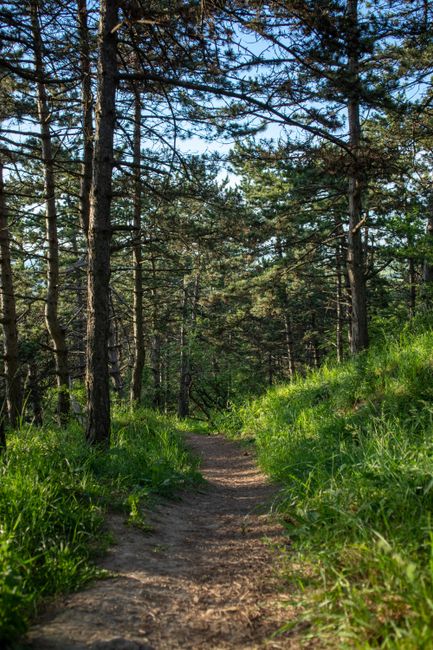
What Nobody Tells Foreign Hikers Before They Start
Korean hiking culture runs on an unspoken set of rules that most foreign visitors discover only after breaking them. Understanding these before you arrive is the difference between a good day on the mountain and a genuinely bad one.
The Gear Expectation Is Not a Suggestion
Koreans hike in full technical gear. This is not vanity. The terrain is steep, the granite turns treacherous when wet, and weather at altitude shifts faster than most visitors expect. A 2023 Korea Forest Service report found that the majority of mountain rescue incidents involved hikers wearing footwear inappropriate for the terrain — a category that includes running shoes, which look nearly identical to trail shoes but offer zero lateral ankle support on loose rock.
Trekking poles are near-universal among Korean hikers over forty. On descent, they take a serious load off the knees — a fact that becomes immediately relevant on Jirisan’s 1,000-meter vertical drops. Rental poles are available at most major trailhead villages for around 5,000–10,000 KRW per day.
Trail Closures Are Real and Enforced
Korea’s national parks operate a rotating closure system called jahyeon hyu-sik-nyeon (자연휴식년제) — literally, “nature rest year.” Sections of trail are closed for one to five years to allow ecological recovery. The closures rotate, so a trail that was open last spring may be shut this spring. The Korea National Park Service updates closure information on its website, but the site is primarily in Korean.
The practical workaround: check the English-language version of the Korea Tourism Organization website before locking in any itinerary. Or call the specific park’s visitor center directly — most have at least one English-speaking staff member during peak season.
The Real Scenario: When Something Goes Wrong at Altitude
A foreign hiker on Seoraksan (설악산) in April faces a specific problem that rarely makes it into travel guides. The upper trails above Ulsanbawi Rock (울산바위) can carry ice well into the morning. A slip on that terrain — even a minor one — can mean an ankle injury serious enough to require evacuation. The nearest hospital with English-language capacity is in Sokcho city (속초시), roughly 20 kilometers from the main park entrance.
Korea’s emergency number is 119. Mountain rescue teams are well-trained, and response times inside national parks are generally fast — typically under 90 minutes on accessible trails. The problem is communication. A 2022 Korea Tourism Organization survey found that fewer than 30% of foreign visitors knew the correct emergency number before arriving. Fewer still knew that the 119 dispatch system has limited English-language support outside major cities.
The fix is low-tech. Before starting any trail above 500 meters, write your trailhead name, your planned route, and your expected return time on a piece of paper — and leave it with your accommodation. Download the Korean national park app (국립공원 앱) before you lose cell signal; it includes offline trail maps and GPS positioning. And stay connected with a Korean eSIM or mobile data plan. The mountains are beautiful and the rescue teams are good. Neither fact makes a sprained ankle less painful at 1,400 meters.
📍 Seoraksan National Park
- Address: 833 Seoraksan-ro, Sokcho-si, Gangwon-do
- Hours: Trails open year-round; cable car operates approximately 09:00–17:00 (seasonal variation)
- Admission: 3,500 KRW per adult (as of 2024); cable car additional fee
- Getting there: Express bus from Seoul Dong Seoul Terminal (동서울터미널) to Sokcho (about 2.5 hours); local bus to park entrance
- Official site: https://seorak.knps.or.kr
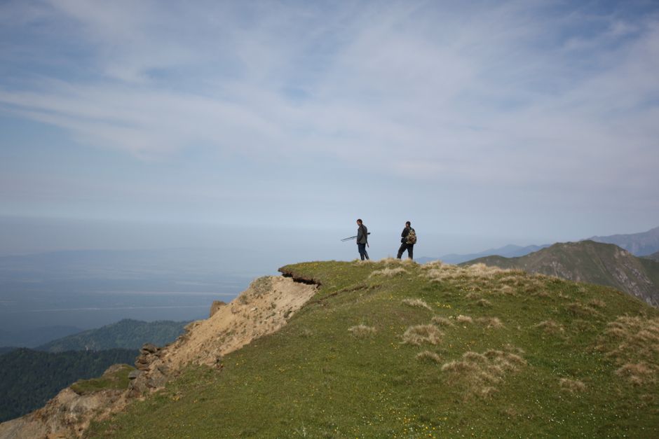
Three Words That Open Every Trail in Korea
Despair, trial, and inspiration — these are not abstract concepts in Korean mountain culture. They are embedded in the physical act of climbing. The Korean verb oreuда (오르다), to ascend, carries a weight that the English word “hiking” simply doesn’t. Korean literature and poetry have used mountain ascent as a metaphor for perseverance through suffering since at least the Joseon Dynasty (1392–1897). The mountains were where scholars went when they were exiled. Where generals went when wars were lost. Where ordinary people went when ordinary life became unbearable.
That history is not invisible on the trail. It explains why Korean hikers in their sixties and seventies — and there are many — move with a deliberateness that looks almost ceremonial. It explains why the summit registers at places like Cheonwangbong are filled not just with names and dates, but with short written intentions: small, private declarations of what someone was climbing toward.
The language barrier, paradoxically, can sharpen the whole experience. When you can’t read the signs, can’t follow the conversations of hikers around you, can’t decode the warning notices posted at trailheads — you are forced to pay attention to the mountain itself. The terrain becomes the only text available. There is a particular kind of literacy that emerges from that condition. It is not comfortable. It is not safe. But it is, in its way, clarifying.
Spring Timing: The Numbers That Matter
Cherry blossoms at sea level in Seoul typically peak in the first week of April, give or take a week depending on the year. At 500 meters elevation, peak bloom arrives roughly 10–14 days later. Above 1,000 meters, flowering shrubs and alpine wildflowers don’t peak until May. A traveler who arrives in early April and stays through the first week of May can follow the bloom upward through the elevation bands — experiencing spring twice, or even three times, on a single trip. That’s not a marketing line. It’s just geography.
Average daytime temperatures in April: Seoul runs 12–17°C at street level; the Jirisan ridge sits at 2–8°C. Wind chill on exposed ridgelines can push the effective temperature below zero even in late April. Pack accordingly. The difference between wearing a base layer and not wearing one is not comfort — it’s the difference between finishing the trail and turning back.
Rover’s Take
Korea’s spring mountains are among the most accessible serious hiking terrain in Asia — and the most consistently underestimated by visitors who confuse “accessible” with “easy.”