
Spring in Korea doesn’t ease you in. It hits you all at once — cherry blossoms, azaleas, and mountain ridgelines sharp enough to cut the horizon.
For foreign visitors arriving between March and May 2026, Seoul’s hiking culture will likely be one of the most disorienting and exhilarating surprises of the trip. Koreans don’t hike casually. They hike with purpose, with color-coordinated gear, with packed lunches that shame most restaurant menus. The mountains aren’t a weekend escape. They are infrastructure.
Three trails define spring hiking in Seoul and its surroundings: Seoraksan (설악산), Bukhansan (북한산), and Inwangsan (인왕산). Each one tells a different story about what this country is — and what spring costs you in sweat.
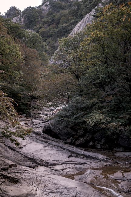
Inwangsan: The One That Starts Before You’re Ready
Inwangsan sits at 338 meters. That number sounds modest until you’re forty minutes in, breathing hard, watching a 70-year-old grandmother in a sun visor pass you at a pace that suggests she’s done this every single day since 1987. She probably has.
The trail begins near Sajik Park (사직공원) and climbs through granite boulders that ancient shamans once used as ritual sites. The Guksadang (국사당) shamanist shrine still stands near the summit — one of the few surviving structures from a religious tradition that predates Buddhism’s arrival in Korea by centuries. Most foreign visitors walk past it without understanding what they’re looking at. That’s the trail’s quiet joke.
Spring arrives on Inwangsan in layers. By late March, forsythia lines the lower paths in yellow. By mid-April, azaleas push through the rock faces in shades that have no clean English equivalent — something between pink and the feeling of arriving somewhere you didn’t expect to love.
The Seoul city wall (한양도성) runs directly along the ridge. You walk on history. Literally. The stones beneath your boots were laid during the Joseon Dynasty (1392–1897), repaired, destroyed, and repaired again. The wall has outlasted most nations.
📍 Inwangsan (인왕산)
- Address: Inwangsan-ro, Jongno-gu, Seoul (서울특별시 종로구 인왕산로)
- Hours: Open year-round; no gate hours for the mountain itself
- Admission: Free
- Getting there: Subway Line 3 to Gyeongbokgung Station (경복궁역), Exit 3 — approximately 15-minute walk to trailhead near Sajik Park
- Official site: https://www.seoul.go.kr
Bukhansan: 18 Million Visitors Per Year Can’t All Be Wrong
Bukhansan (북한산) holds a record that sounds invented: it is one of the most visited national parks per unit area on the planet, drawing approximately 5 to 8 million visitors annually across its 79.9 square kilometers (Korea National Park Service data). For comparison, Yellowstone covers 8,983 square kilometers and receives roughly 4 million visits per year. The math is uncomfortable.
In spring, the discomfort becomes beauty. The park’s main peaks — Baegundae (백운대) at 836 meters, Insubong (인수봉), and Mangyeongdae (만경대) — emerge from a sea of pale green and white. The cherry blossoms don’t dominate here the way they do in the city. Instead, the mountain offers something quieter: the smell of pine warming in the afternoon sun, the sound of meltwater threading through granite channels, the particular silence that exists only between two steep walls of rock.
The Bukhansan Dulle-gil (북한산 둘레길) — a circular trail system totaling 71.5 kilometers — was designed specifically for visitors who want the mountain without the vertical. It loops around the base, connecting villages, temples, and forest sections. For first-time foreign hikers, Section 1 (Sotgol Trail) to Section 3 (Namsam Trail) offers a manageable 12-kilometer introduction with consistent signage in both English and Korean.
For those who go up: Baegundae requires no technical climbing, but the final 200 meters involve iron chains bolted into the rock face. Grip matters. So does the decision to wear actual hiking shoes rather than the fashion sneakers that appear, every spring, on the feet of optimistic tourists.
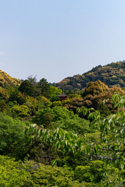
📍 Bukhansan National Park (북한산국립공원)
- Address: 262 Bogungmun-ro, Jongno-gu, Seoul (서울특별시 종로구 보국문로 262) — Ui-dong entrance
- Hours: Open year-round; some trails close seasonally for forest fire prevention (typically November–May, check in advance)
- Admission: Free
- Getting there: Subway Line 4 to Suyu Station (수유역), Exit 1, then Bus 120 or 153 to Bukhansan Ui-dong entrance
- Official site: https://bukhan.knps.or.kr
Seoraksan: When the Mountain Demands Something of You
Seoraksan (설악산) is not in Seoul. That matters. It sits in Gangwon Province, roughly three hours from Seoul by express bus — a commitment that filters out the casual visitor and keeps the trail honest.
At 1,708 meters, Daecheongbong (대청봉) — Seoraksan’s highest peak — is the third-highest point on the Korean peninsula south of the DMZ. In spring, snow lingers on the upper ridges into April while wildflowers bloom at the base. The mountain operates in two climates simultaneously. That contrast is not a metaphor. It is weather.
The Osaek (오색) route from the southern entrance to Daecheongbong covers approximately 9 kilometers one way, with an elevation gain of around 1,300 meters. The round trip runs 7 to 9 hours for a fit hiker. The Seorakdong (설악동) entrance on the northern side offers shorter trails, including the Biryong Falls (비룡폭포) path — 1.4 kilometers, accessible to most fitness levels — and the Ulsanbawi (울산바위) rock formation trail at 3.9 kilometers round trip.
Seoraksan in spring is not a backdrop. It is a full-day reckoning.
📍 Seoraksan National Park (설악산국립공원)
- Address: 833 Seoraksan-ro, Sokcho-si, Gangwon-do (강원도 속초시 설악산로 833)
- Hours: Open year-round; specific trail hours vary by season
- Admission: Adults 3,500 KRW (as of 2023, Korea National Park Service)
- Getting there: Express bus from Seoul East Bus Terminal (동서울터미널) to Sokcho (속초), approximately 2.5–3 hours; then local bus or taxi to Seorakdong entrance
- Official site: https://seorak.knps.or.kr
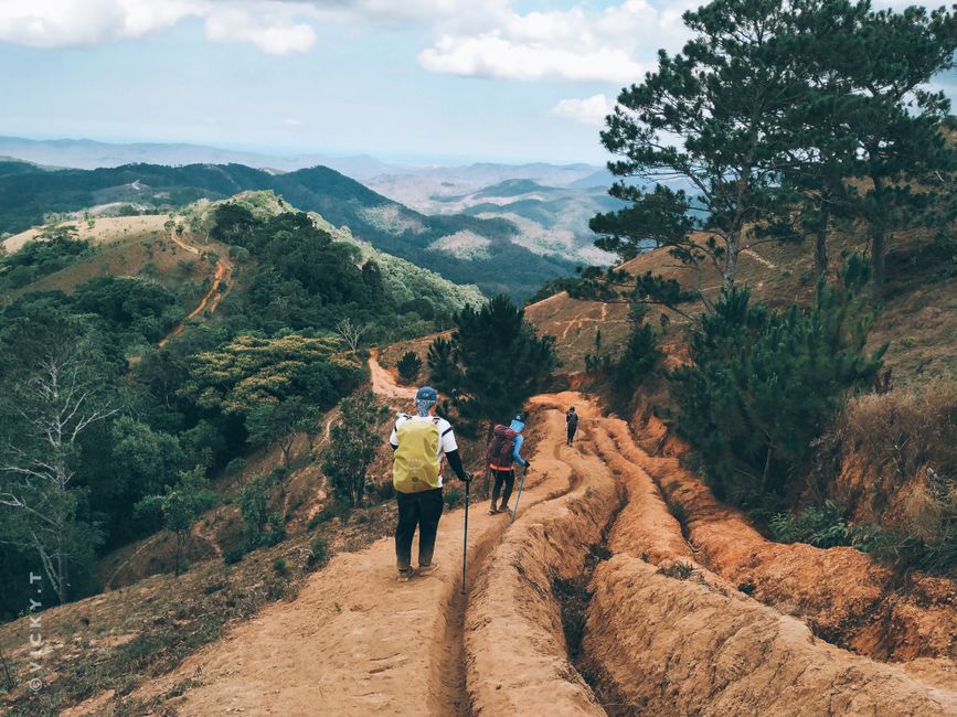
What Happens When It Goes Wrong — And It Will
Here is the scenario nobody puts in the travel brochure: you are 600 meters up Bukhansan, your ankle turns on wet granite, and the person you’re hiking with doesn’t speak Korean. The nearest hospital is Gangbuk Samsung Hospital (강북삼성병원) in Jongno-gu. The trail rescue service is operated by the Korea Mountain Rescue Team (119 산악구조대), reachable by dialing 119 from any Korean SIM or roaming number. The operator will ask for your location. Know it before you need it.
Every major trail in Seoul’s national parks now has numbered rescue location markers posted at regular intervals — small yellow signs bearing a code like “북한산-23.” When you call 119, read that code aloud. It tells emergency services exactly where you are without GPS coordinates, without Korean language skills, without anything except the ability to read a number out loud.
Download the Naver Map app (네이버 지도) before you leave your accommodation. It works offline for cached areas and displays trail conditions in Korean — which you can screenshot and show to any Korean hiker nearby. Korean hikers, almost universally, will stop and help. This is not a generalization. It is a documented feature of the culture.
Carry at least 1.5 liters of water per person. Spring sun in Korea is deceptive — temperatures feel mild, but UV index readings in April regularly reach 7 or above (Korea Meteorological Administration seasonal averages). Dehydration on a spring trail is not dramatic. It is slow, then sudden. Before setting out, stay connected with a local eSIM so you can access maps and call for help if needed.
The Gear Question: What You Actually Need
Korean outdoor retail is world-class and expensive. Brands like Blackyak (블랙야크), K2 Korea, and Kolon Sport (코오롱스포츠) dominate the market with technical gear priced above most European equivalents. A mid-layer jacket at a Seoul outdoor store will run 150,000 to 300,000 KRW (approximately $110–$220 USD at 2024 exchange rates).
For a visitor spending one to three days hiking, the calculation is straightforward: bring what you own, buy only what you’ve forgotten. The one non-negotiable is footwear. Trail runners or light hiking boots with ankle support. Nothing else holds up on Bukhansan’s granite in spring rain.
Trekking poles are standard equipment for Korean hikers of all ages. Rentals are available near major trailheads from small vendors — typically 3,000 to 5,000 KRW per pair. The vendors don’t advertise in English. They are the people sitting beside folding tables near the bus stop, surrounded by poles and compression socks.
Spring hiking in Korea is not about conquering a mountain. It is about understanding why three generations of one family are eating rice and kimchi on a granite ledge at 700 meters and looking entirely at peace with the world.
Rover’s Take
The mountains haven’t changed. The people building condominiums at their base simply haven’t figured out how to charge admission for the view from the top.